Finley Bauer · 7 October 2026
Sardinian Nuraghe Towers Reveal Lunar Alignments Through Recent Archaeological Mapping
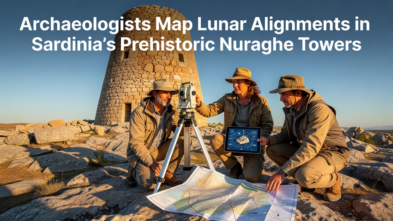
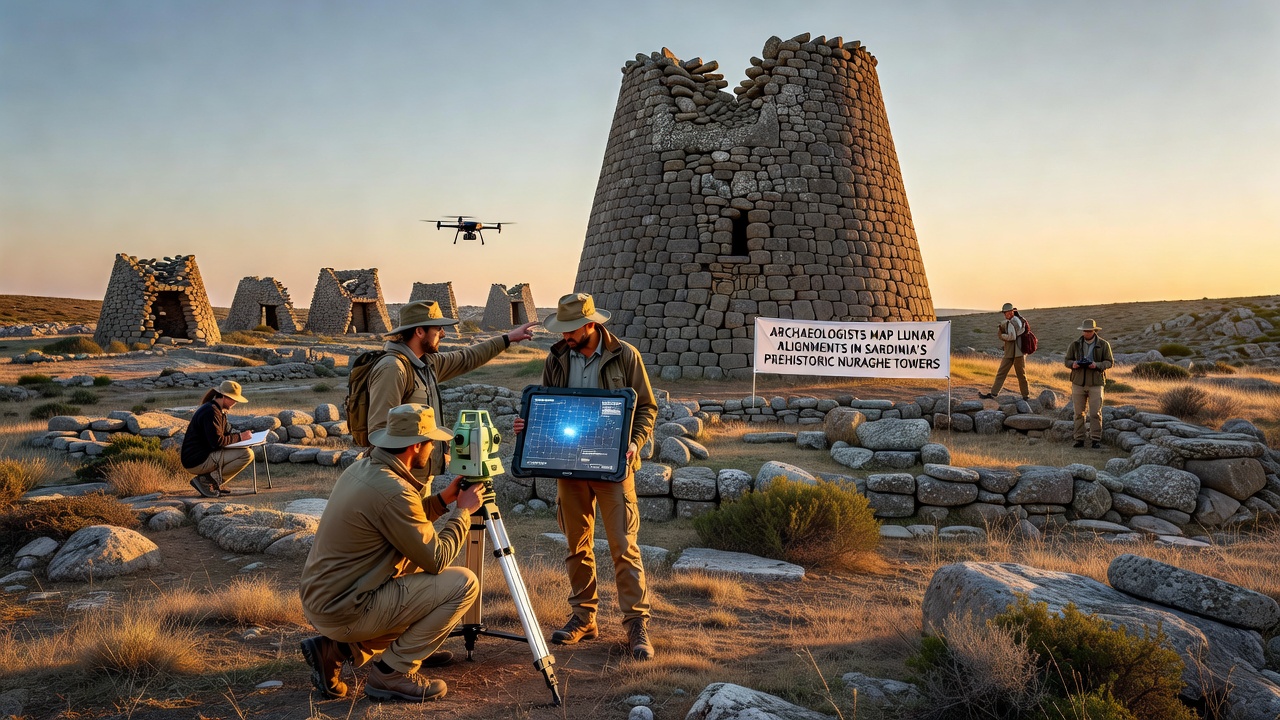
Archaeologists have documented precise lunar alignments in several prehistoric nuraghe towers across Sardinia, with mapping efforts accelerating through coordinated surveys that began in 2024 and continue into 2026. These Bronze Age structures, built primarily between 1800 and 1200 BCE, feature central towers and surrounding bastions whose entrances and sightlines correspond to specific moonrise and moonset positions during major lunar standstills. Researchers employed GPS mapping, drone photogrammetry, and stellar software to record azimuths and elevations at more than forty sites, confirming patterns that repeat across different nuraghe complexes in central and northern regions of the island.
Survey Methods and Initial Data Collection
Teams from multiple institutions combined field measurements with archival aerial imagery to isolate orientations that match teh 18.6-year lunar nodal cycle. Data indicates that several towers align with the northernmost moonrise during major standstills, while others track southern extremes or intermediate phases. One project integrated LiDAR scans of the Barbagia and Gallura districts, revealing that corridors in certain nuraghe maintain sightlines accurate to within two degrees of calculated lunar positions. These findings build on earlier observations from the 1990s yet expand the dataset substantially through digital tools unavailable to previous generations of researchers.
Geographic Distribution of Alignments
Alignments appear concentrated in clusters rather than scattered randomly, with higher densities in the central highlands where clear horizons allowed unobstructed observations. In the province of Nuoro, for instance, three adjacent sites share nearly identical azimuth values for the winter moonrise, suggesting coordinated construction practices among neighboring communities. Coastal nuraghe near the Gulf of Orosei demonstrate different patterns oriented toward southern lunar extremes, possibly reflecting local environmental or ritual priorities. The consistency across varied terrain types points to intentional design rather than coincidence, as random orientations would produce far wider statistical spreads according to probability models applied by the research groups.
Connections to Broader Mediterranean Contexts
Similar lunar orientation principles appear in other prehistoric monuments throughout the Mediterranean, yet the Sardinian examples stand out for their density and preservation. Comparisons with temple complexes in Malta and menhir arrangements in southern France highlight shared interest in tracking celestial cycles, although construction techniques differ markedly. Italian cultural authorities have supported expanded documentation, noting that the nuraghe represent one of the most intact prehistoric landscapes in Europe. Ongoing analysis examines whether these alignments influenced seasonal activities such as herding migrations or agricultural timing, drawing on pollen records and faunal remains recovered from associated villages.
October 2026 marks the scheduled presentation of a comprehensive atlas compiled from the mapping initiative at an international conference hosted in Cagliari. Organizers expect contributions from specialists in archaeoastronomy, Sardinian prehistory, and digital heritage documentation. Preliminary reports already circulated among academic networks indicate that at least twelve additional towers display measurable lunar correlations beyond those initially catalogued, extending the known distribution into previously under-surveyed western zones.
Preservation and Future Research Directions
Regional authorities coordinate with national heritage bodies to protect these alignments from modern development pressures, including restrictions on new construction that could obstruct sightlines. Digital models created during the project allow virtual reconstruction of original horizons and simulation of lunar events from different historical periods. Such resources support educational programs and further studies without requiring repeated site visits that might accelerate wear on the structures. Researchers continue to cross-reference alignment data with excavation results to determine whether specific chambers served observational functions or held symbolic significance tied to lunar phases.
Additional fieldwork scheduled through 2027 targets lesser-known nuraghe in the Sulcis and Iglesiente areas, where preliminary checks suggest orientations matching those already confirmed elsewhere. Integration with satellite-derived elevation models refines earlier calculations and accounts for minor topographic changes over three millennia. The cumulative dataset now exceeds previous compilations in both scope and precision, providing a foundation for comparative studies across the Mediterranean basin.
Conclusion
The mapping of lunar alignments in Sardinia's nuraghe towers supplies concrete evidence of sophisticated prehistoric observational practices embedded in monumental architecture. Continued collaboration among archaeologists, astronomers, and heritage managers sustains momentum toward fuller documentation, while digital tools preserve the findings for ongoing analysis and public access. As the October 2026 conference approaches, the expanded record offers new reference points for understanding how ancient communities integrated celestial cycles into their built environments across the island.