Finley Bauer · 21 October 2026
Lunar Cycles Drive Subtle Shifts in Italy’s Karst Aquifer Systems
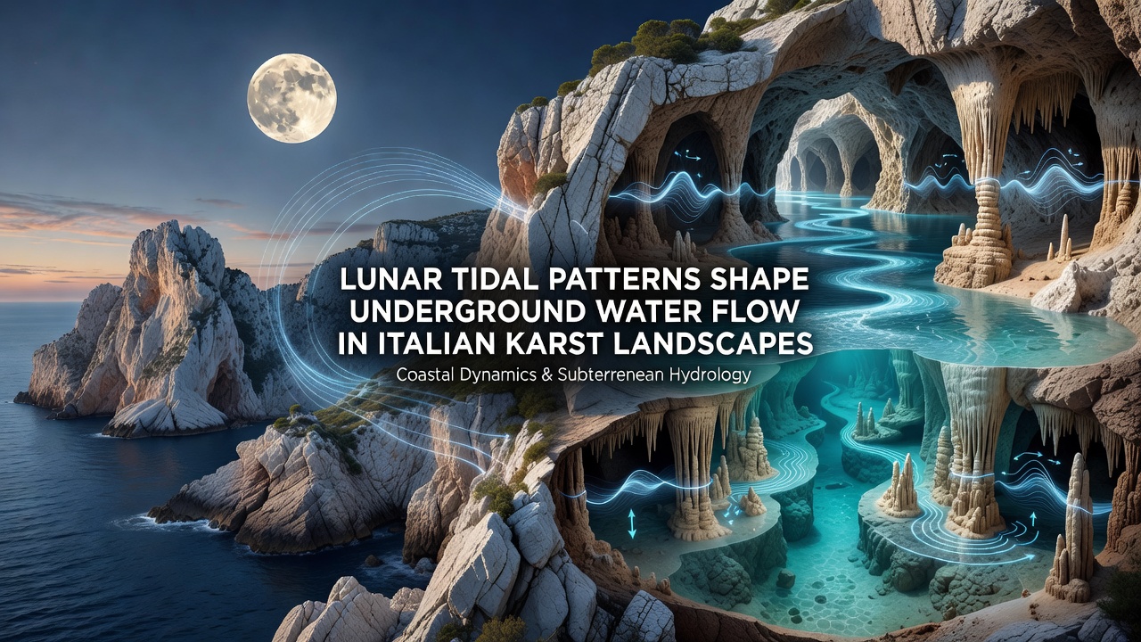
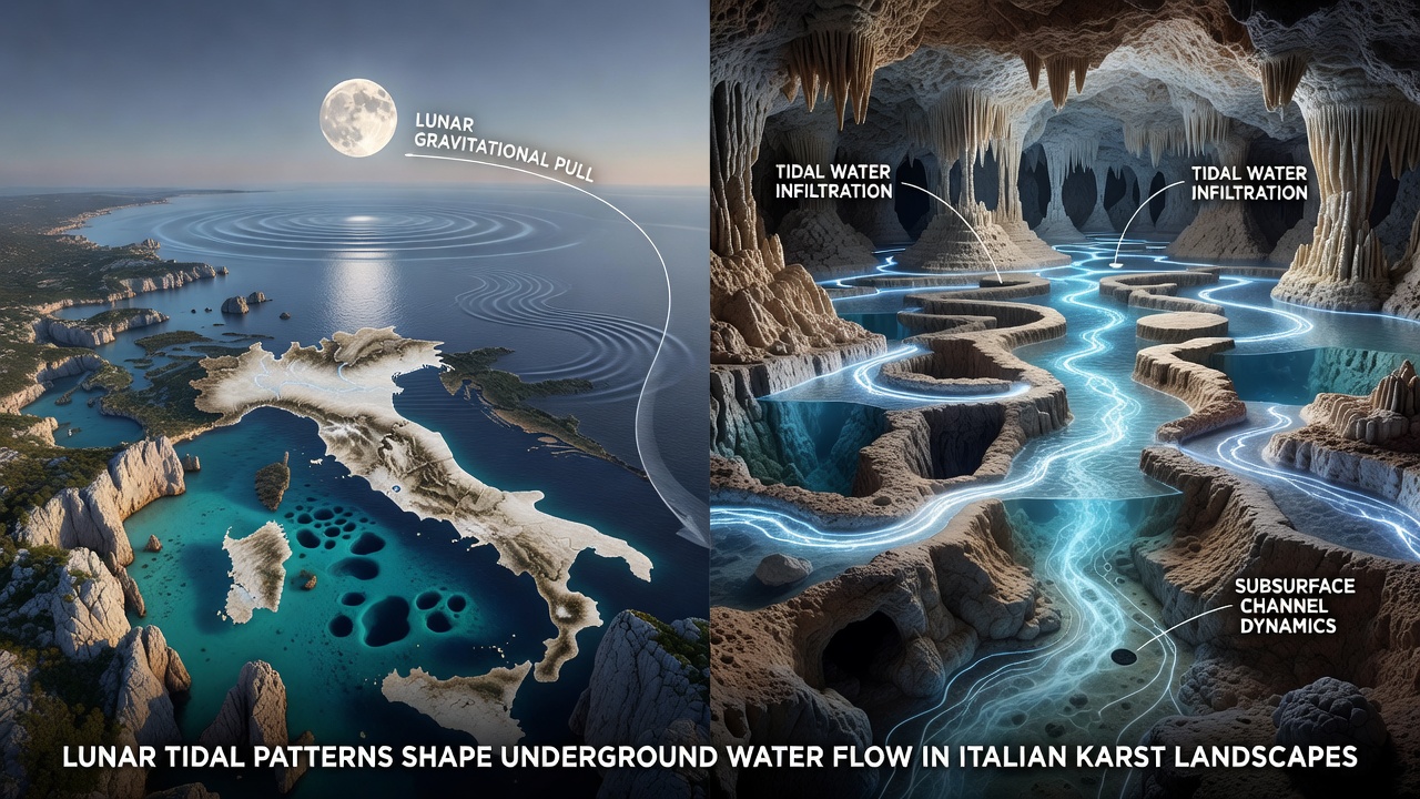
Karst regions in Italy feature extensive limestone networks where water moves through fractures and conduits rather than surface channels, and researchers have documented how lunar gravitational forces create measurable pressure changes within these hidden systems. Studies conducted across the Apennines and southern plateaus show that tidal bulges from the Moon produce daily and fortnightly variations in groundwater levels, sometimes reaching several centimeters even at depths of hundreds of meters.
Mechanisms Behind the Influence
The solid Earth deforms slightly under lunar gravity, and this deformation alters pore pressure in confined aquifers; when the Moon aligns with the Sun during spring tides, the combined pull increases the amplitude of these pressure waves, while neap tides reduce it. Italian hydrogeologists monitoring wells in Puglia and Campania have recorded corresponding rises and falls in water tables that match predicted lunar cycles, with peak effects occurring roughly every 14 days. These patterns emerge because karst conduits act as efficient pressure transmitters, allowing small surface deformations to propagate quickly through the rock matrix.
Field Evidence from Italian Sites
Long-term data collected by the National Research Council of Italy reveal that certain cave systems near Matera exhibit consistent inflow spikes aligned with lunar perigee, when the Moon reaches its closest orbital point and exerts stronger gravitational force. Equipment installed in the 2010s continues to log these fluctuations, showing that discharge from springs can increase by up to 8 percent during maximum tidal stress periods compared with minimum periods. Similar observations appear in the Lessini Mountains north of Verona, where dye-tracing experiments confirm that water travels through enlarged fractures whose aperture changes measurably with tidal loading.
October 2026 marks the scheduled release of updated three-dimensional models from a joint EU-funded project that integrates satellite gravimetry with ground sensors across multiple Italian karst basins; preliminary reports indicate the new datasets will refine predictions of how these tidal signals interact with seasonal rainfall patterns.
Broader Hydrological Implications
Because many Italian cities and agricultural zones rely on karst springs for drinking water, understanding these lunar-driven variations helps water managers anticipate short-term supply changes without invoking climate factors alone. Data from the US Geological Survey on comparable limestone aquifers in Florida provide cross-validation, confirming that the same fortnightly signals appear in distant karst settings when instrumentation sensitivity is sufficient. In Italy, authorities have begun incorporating tidal corrections into drought-alert thresholds, particularly for regions where spring yields drop below critical levels during neap-tide windows.
Seismic stations also pick up micro-tremors linked to water movement inside karst voids, and researchers note that these acoustic signatures intensify when lunar tides coincide with heavy autumn rains. The combined effect can accelerate dissolution along fracture walls, gradually enlarging conduits over decades and altering long-term permeability. One study published in an Italian geological journal tracked a single conduit network for eight years and found measurable widening rates that correlated with cumulative tidal stress rather than rainfall volume alone.
Integration with Other Environmental Data
Climate models now include lunar tidal modules when simulating Mediterranean groundwater recharge, because omitting them produces systematic errors in monthly discharge forecasts. The European Environment Agency maintains an open repository of sensor readings from 47 Italian karst monitoring stations, allowing independent teams to verify that lunar periodicity persists across different geological subunits. Observers note that high-resolution pressure transducers installed since 2022 capture sub-centimeter fluctuations previously masked by instrument noise, sharpening the statistical significance of tidal correlations.
Coastal karst areas face an additional layer of complexity, as marine tidal loading superimposes on lunar solid-Earth tides; however, inland sites more than 50 kilometers from the sea still register clear lunar signals, demonstrating that atmospheric and oceanic tides are not required for the effect to appear. Australian researchers studying similar limestone terrains in the Nullarbor region have reported parallel results, reinforcing that the phenomenon operates wherever karst porosity permits pressure transmission.
Conclusion
Continuous monitoring and refined modeling continue to map the precise pathways through which lunar gravity modulates underground water movement in Italian karst landscapes. These findings rest on decades of instrument records, cross-checked against independent datasets from multiple continents, and they supply water-resource planners with an additional predictive variable that operates independently of precipitation or extraction rates. As sensor networks expand and computational resolution improves, the contribution of lunar tidal patterns to karst hydrology becomes increasingly quantifiable and operationally relevant.